USA National Parks System: Preserving Geographic Wonders
A geographic tour of America's National Parks, exploring the diverse biomes, geological wonders, and conservation efforts across the country.
Learning Objectives by Grade Level
- Elementary (K-5): Locate famous National Parks like Yellowstone and the Grand Canyon on a map.
- Middle School (6-8): Understand the geographic and geological features that make these parks unique (e.g., geysers, canyons).
- High School (9-12): Discuss the importance of land conservation in geography and the challenges of managing tourism in fragile ecosystems.
Introduction to Protected Lands
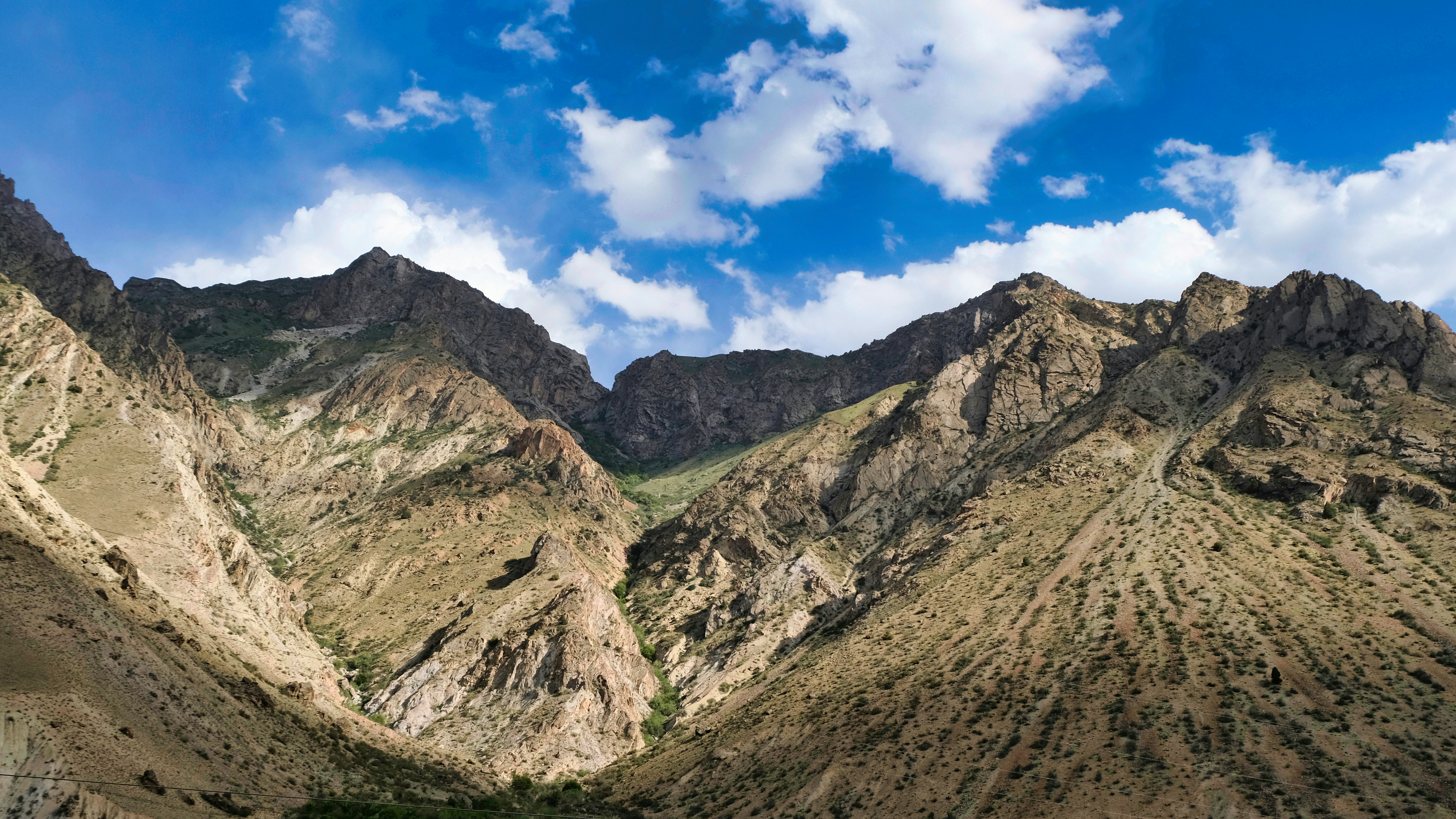
The National Park System is a crown jewel of American geography. Preserving unique geological formations, diverse ecosystems, and historical sites, these parks offer a living laboratory for geography education. Teachers frequently use National Parks as case studies in their geography lessons to illustrate complex physical processes.
Yellowstone: The First National Park
Established in 1872, Yellowstone was the world's first national park. Geographically, it is situated primarily in Wyoming and sits atop a massive, active supervolcano. This unique geology powers the park's famous geothermal features, including over half of the world's active geysers (like Old Faithful) and hot springs.
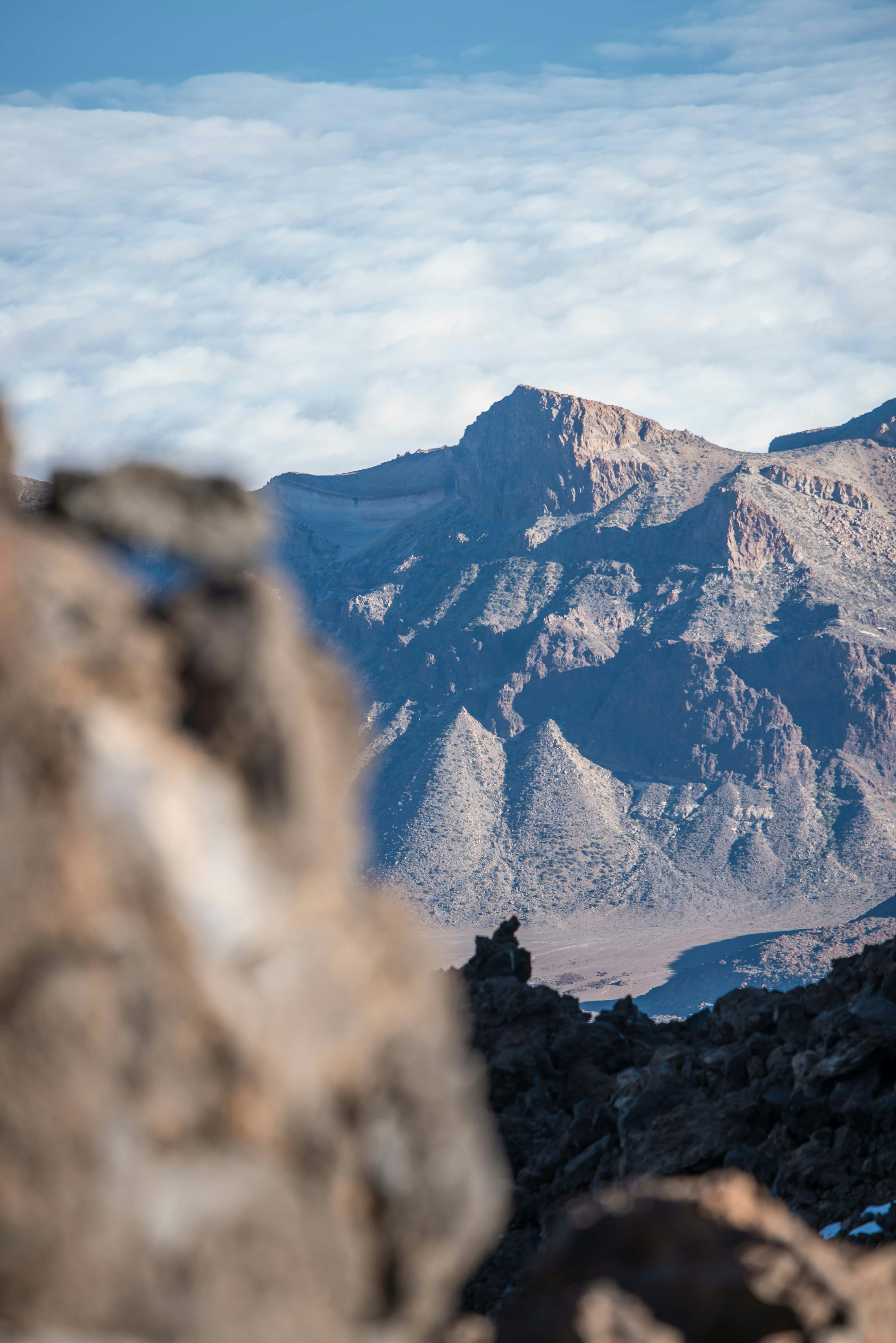
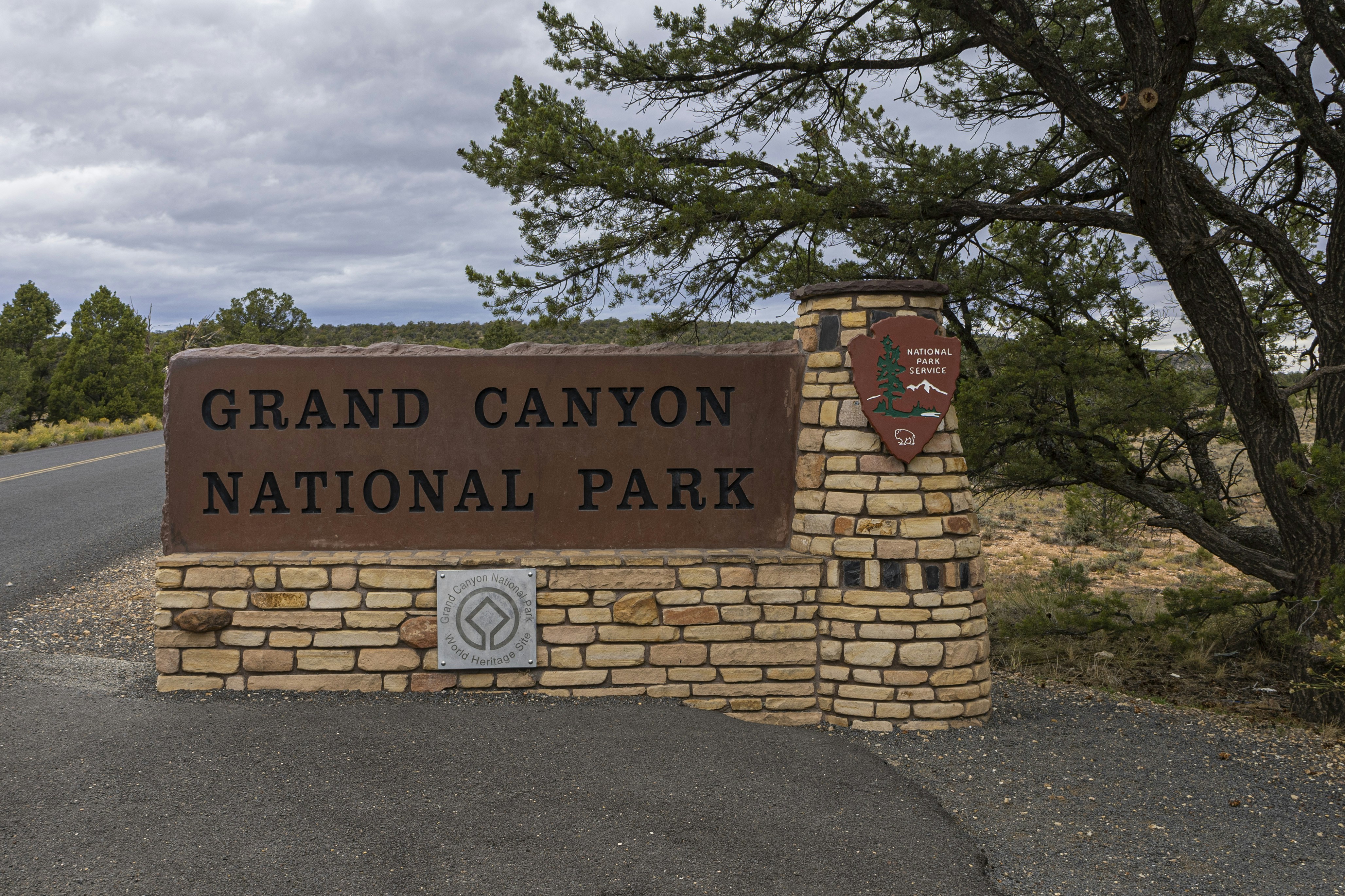
The Grand Canyon: Erosion on a Massive Scale
Located in Arizona, the Grand Canyon is one of the most spectacular examples of river erosion in the world. Carved by the Colorado River over millions of years, the canyon is up to 18 miles wide and over a mile deep. It provides a visible cross-section of the Earth's geological history, making it a premier destination for students of geology and geography.
The Everglades: A Unique Wetland Biome
Unlike the rocky parks of the West, Florida's Everglades National Park protects a massive, slow-moving "river of grass." This subtropical wetland is a highly sensitive geographic region, threatened by urban development and changes to natural water flow. It highlights the intersection of human geography and environmental conservation.
Iconic National Parks and Their Geography
| National Park | State | Primary Geographic Feature | Biome |
|---|---|---|---|
| Yellowstone | WY, MT, ID | Geothermal geysers, caldera | Subalpine Forest |
| Grand Canyon | Arizona | Massive river-carved canyon | Desert / Semi-arid |
| Everglades | Florida | Slow-moving wetland river | Tropical Wetlands |
| Glacier | Montana | Glacier-carved peaks and valleys | Alpine Tundra / Forest |
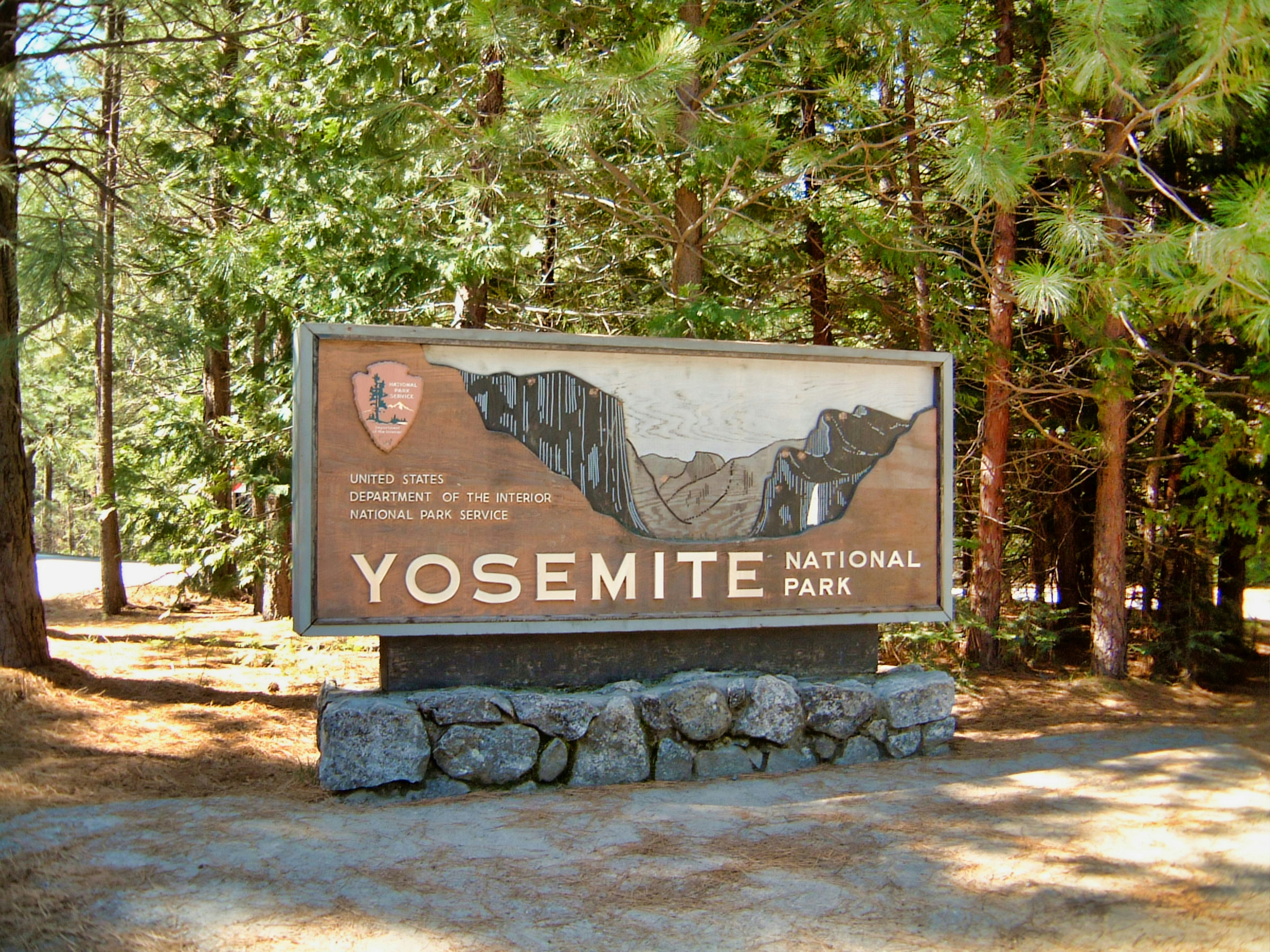
| Yosemite | California | Granite cliffs, waterfalls | Sierra Nevada Forest |
Discussion Questions for the Classroom
- How does the geology of Yellowstone differ from the geology of the Grand Canyon?
- Why is the preservation of wetland environments like the Everglades geographically important?
- What are the geographic challenges of managing millions of tourists in fragile natural environments?
Frequently Asked Questions (FAQ)
Which state has the most National Parks?
California has the most National Parks (9), followed closely by Alaska (8).
What is the largest National Park in the US?
Wrangell-St. Elias National Park in Alaska is the largest, covering over 13 million acres (larger than Switzerland).
Why was the National Park System created?
It was created to conserve the scenery, natural and historic objects, and wildlife, and to provide for the enjoyment of these resources for future generations.