USA Geographic Regions Deep Dive: Northeast, Southeast, Midwest, Southwest, West, and Pacific
A comprehensive exploration of the United States geographic regions, detailing the physical landscapes, climates, and cultural geography that define the American landscape.
Learning Objectives by Grade Level
- Elementary (K-5): Identify the major geographic regions of the United States on a USA geography map and name one key physical feature of each region.
- Middle School (6-8): Understand the distinct climate zones, topography, and economic drivers of each USA geography region, and how they affect daily life.
- High School (9-12): Analyze how physical geography influences human settlement patterns, cultural development, and regional economies across the American landscape.
- College/Adult Learners: Evaluate the historical and modern geopolitical implications of American geography, regional resource distribution, and environmental challenges.
Introduction to USA Geography and Regional Distinctions
When studying USA geography, dividing the country into distinct regions is essential for comprehension. The United States is vast, encompassing diverse ecosystems, climates, and topographies that range from the frozen tundras of Alaska to the tropical wetlands of Florida. For educators planning geography lessons, breaking the country into the Northeast, Southeast, Midwest, Southwest, West, and Pacific regions provides a structured, digestible approach to American geography. This guide serves as a foundational resource for geography for students, offering deep insights into the geographic diversity that defines the nation.
Understanding these regions is not just about memorizing state capitals; it is about recognizing how the land shapes the people. The fertile plains of the Midwest birthed an agricultural powerhouse, while the rugged coastlines and deep harbors of the Northeast fostered early industrialization and trade. As you explore our geography courses, you will see how these regional characteristics continue to influence modern American life, politics, and economics.

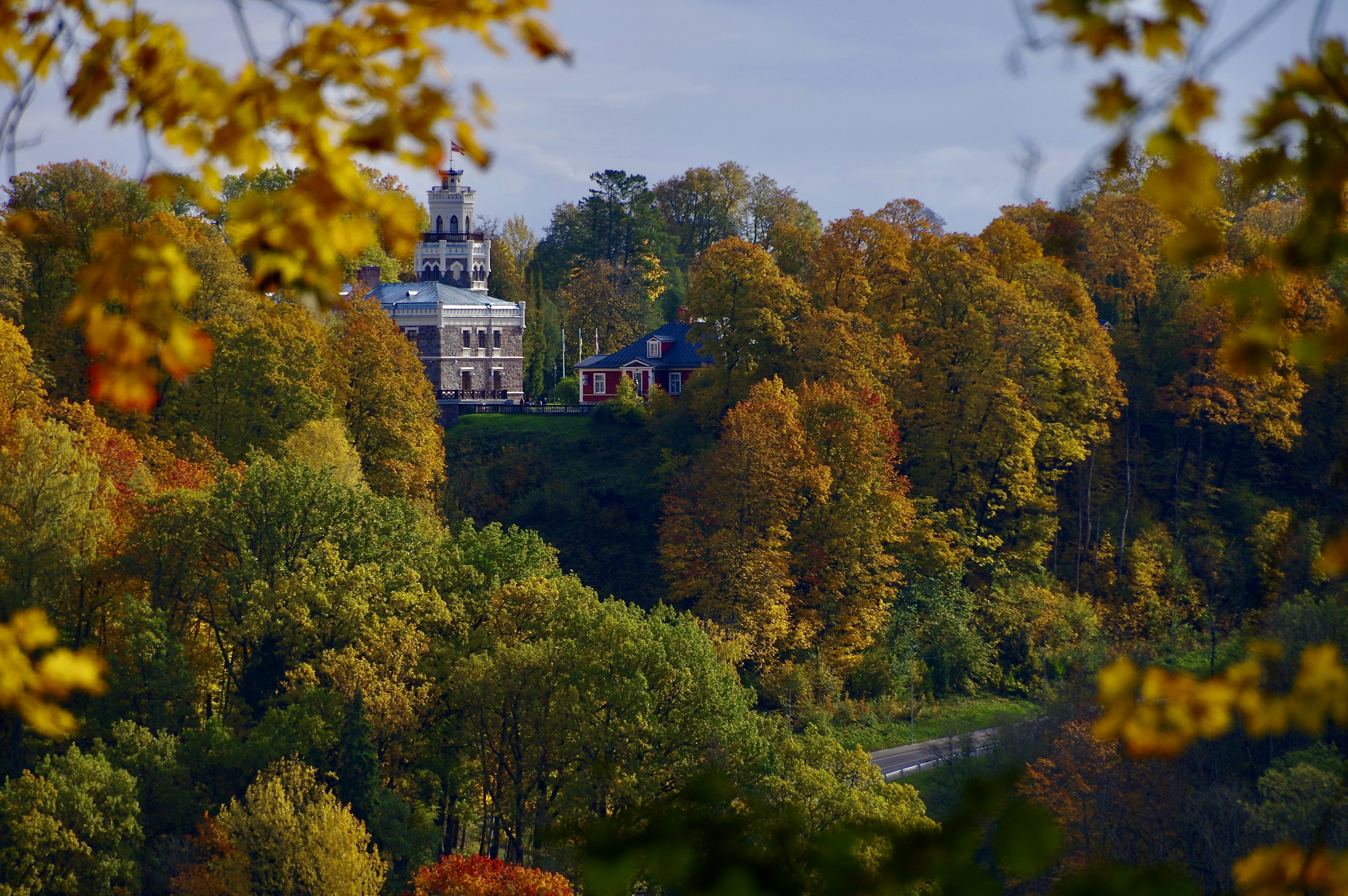
The Northeast: Historical Harbors and Appalachian Peaks
The Northeast region of the United States is characterized by its rich history, dense population centers, and varied topography. Geographically, it is defined by the Appalachian Mountains running through its interior and a heavily indented Atlantic coastline that provides numerous deep-water natural harbors. These harbors, such as those in New York and Boston, were crucial for early European settlement and remain vital hubs for international trade today.
In terms of geography education, the Northeast offers excellent case studies in urban geography. The concept of the "Megalopolis"—a continuous stretch of urban and suburban development from Boston to Washington D.C.—illustrates how physical geography (the coastal plain) facilitates massive human settlement. The climate here is humid continental, featuring four distinct seasons with cold, snowy winters and warm, humid summers, which historically dictated agricultural practices and architectural styles.
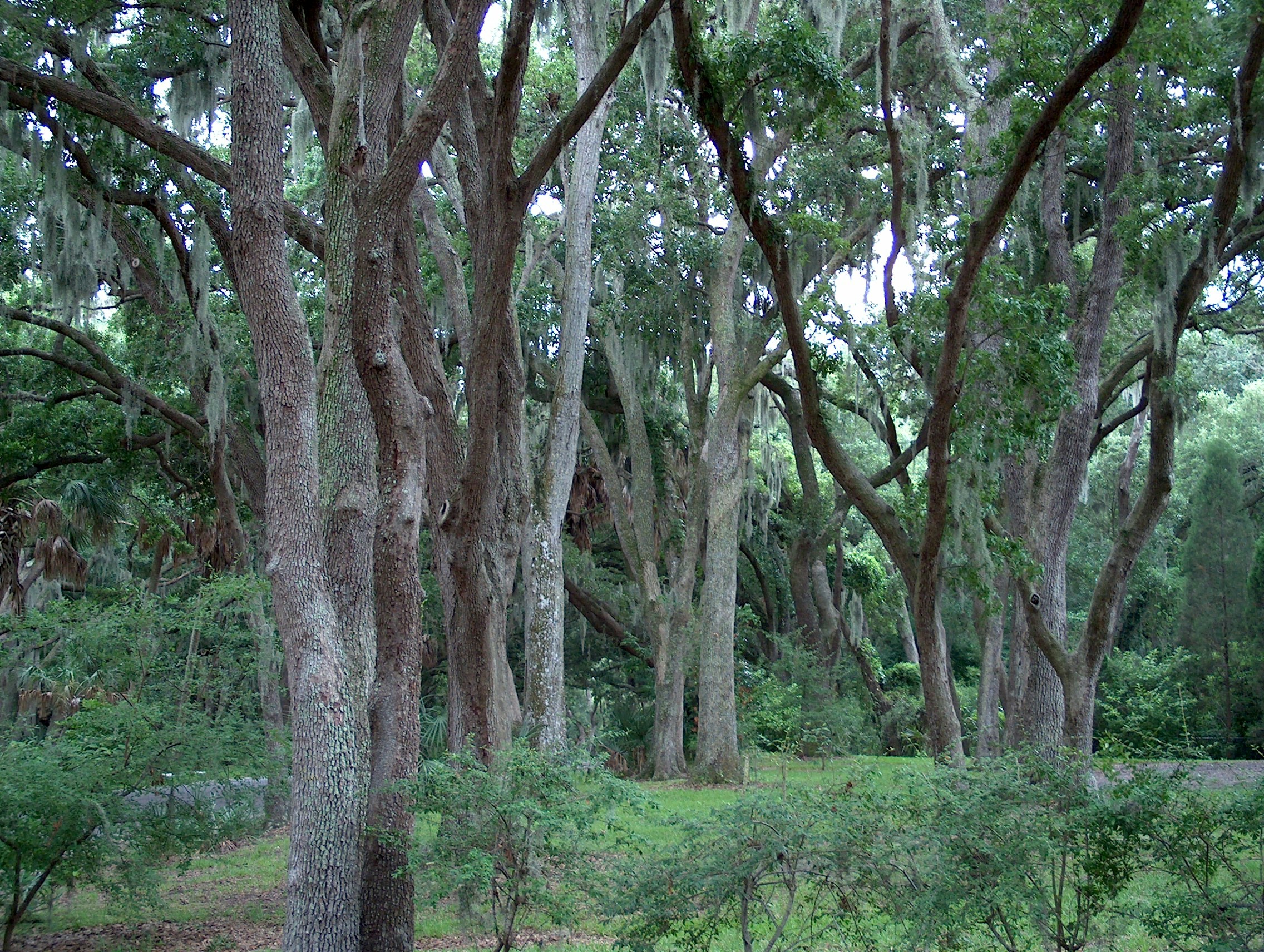
The Southeast: Coastal Plains and Subtropical Climates
Moving south, the geography transitions into the broad, flat Coastal Plain that borders the Atlantic Ocean and the Gulf of Mexico. The Southeast is defined by its humid subtropical climate, characterized by long, hot summers and mild winters. This climate, combined with fertile soils, made the region historically dependent on plantation agriculture, a fact that profoundly shaped its cultural and demographic history.
Key geographic features include the Mississippi River Delta, the Florida Everglades, and the southern stretches of the Appalachian Mountains. The region is highly susceptible to extreme weather, particularly hurricanes, which provides a critical learning point for students studying environmental geography and disaster preparedness. The intersection of human infrastructure and vulnerable coastal geography is a major topic in modern geography teaching.
The Midwest: The Agricultural Heartland
Often referred to as the "Breadbasket of America," the Midwest is dominated by the Interior Plains. This vast, relatively flat expanse of land features some of the most fertile soil in the world, known as Mollisols, left behind by retreating glaciers during the last Ice Age. USA geography facts frequently highlight the Midwest's role in global food production, producing massive quantities of corn, soybeans, and wheat.
The region is also defined by the Great Lakes—the largest group of freshwater lakes on Earth—and the massive Mississippi-Missouri river system. These waterways provided essential transportation routes for early industrialization, allowing cities like Chicago and Detroit to flourish as manufacturing and shipping hubs. Teaching the Midwest involves exploring the balance between agricultural land use and industrial urban centers.
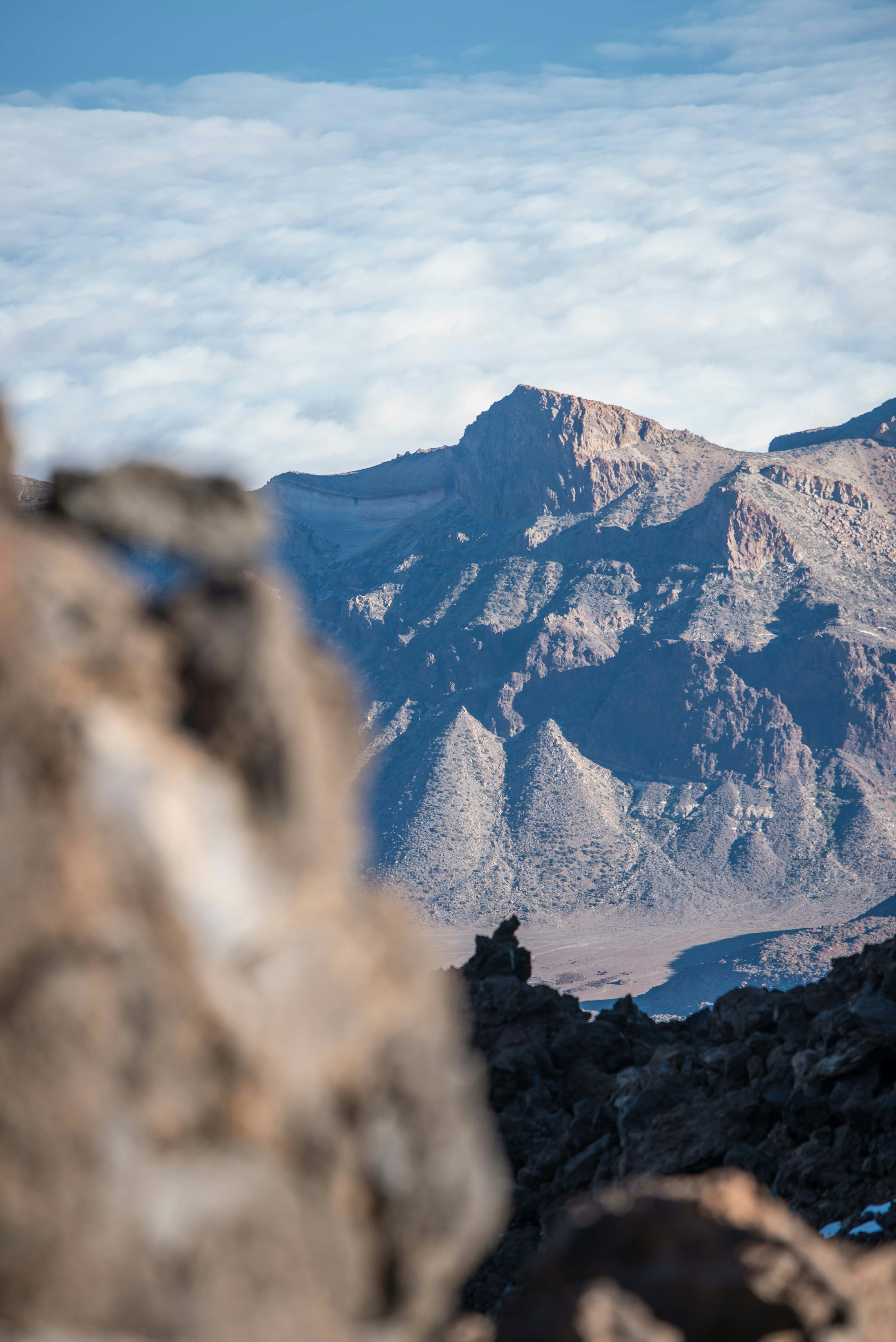
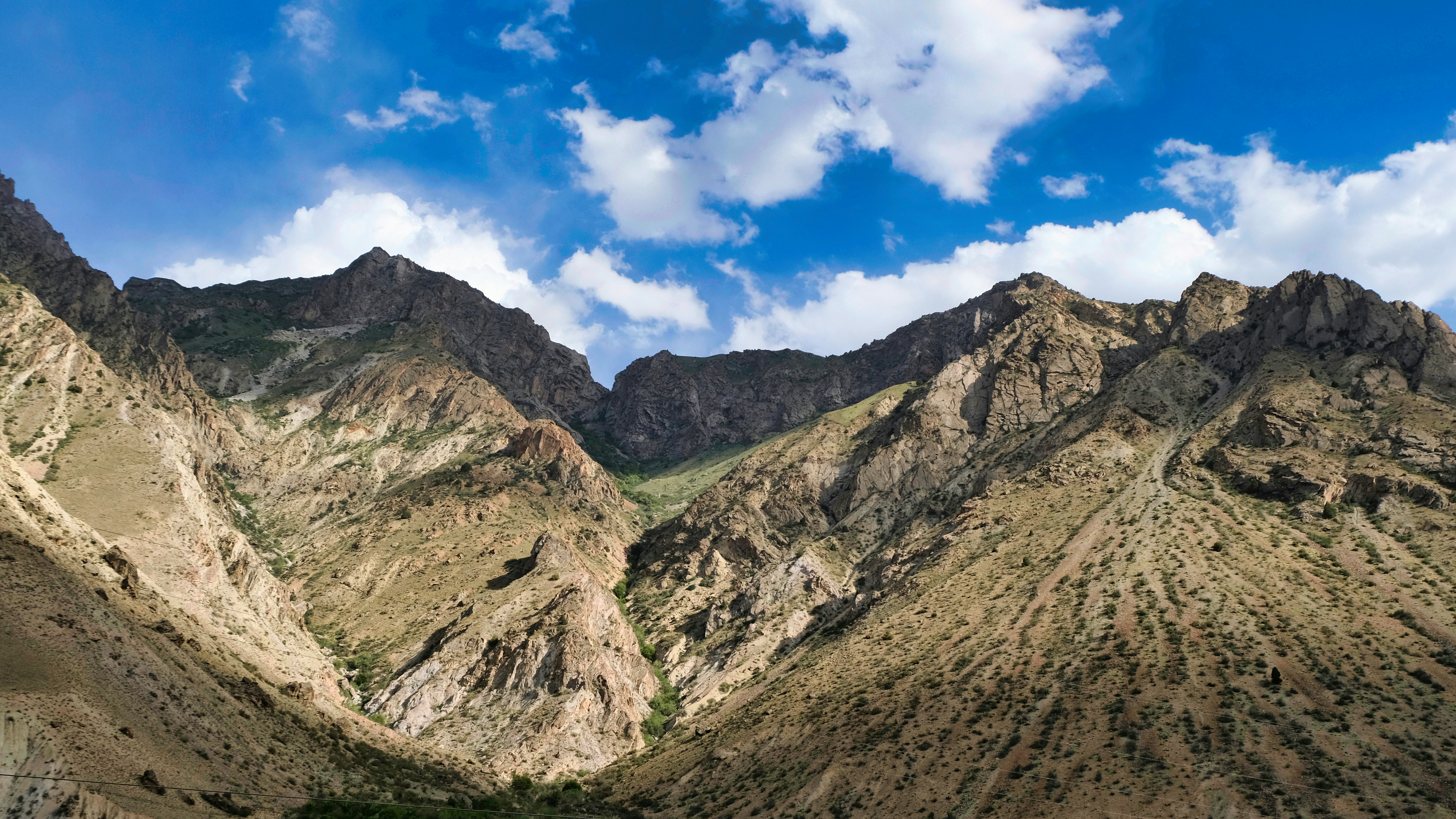
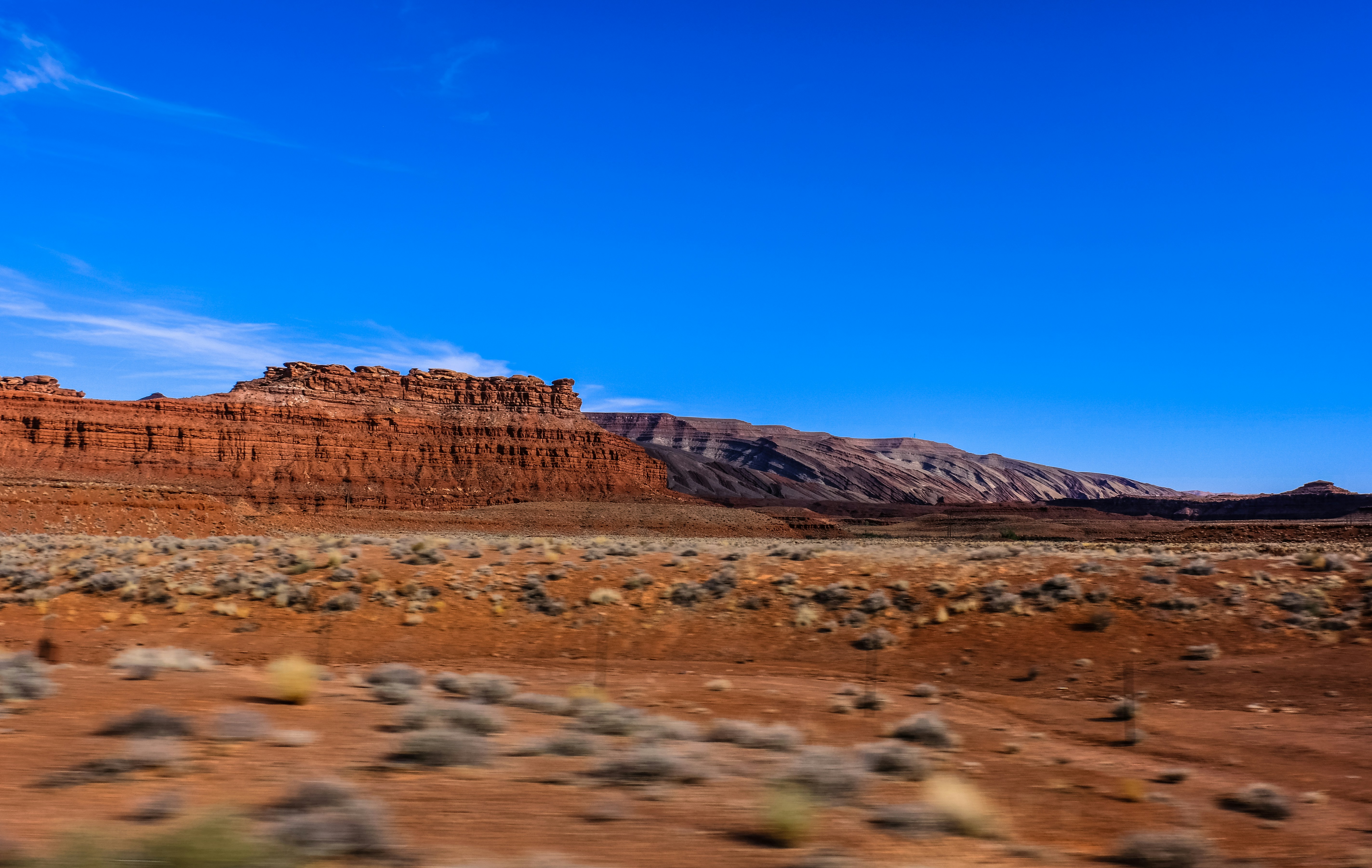
The Southwest: Arid Deserts and Grand Canyons
The Southwest is perhaps the most visually striking region in United States geography. It is defined by its arid and semi-arid climates, encompassing the Mojave, Sonoran, and Chihuahuan deserts. The topography is rugged, featuring mesas, buttes, and massive canyons carved by ancient rivers, most notably the Grand Canyon formed by the Colorado River.
Water scarcity is the defining geographic challenge of the Southwest. The region relies heavily on complex irrigation systems and dams (like the Hoover Dam) to support its rapidly growing population and agricultural sectors. For educators looking for geography resources, the Southwest provides a perfect case study on human adaptation to harsh environments and the politics of water rights.
The West and Pacific: Towering Mountains and Coastlines
The American West is a region of extremes. It contains the highest point in the contiguous US (Mount Whitney) and the lowest (Death Valley), located just miles apart in California. The geography is dominated by massive mountain ranges, including the Rocky Mountains, the Sierra Nevada, and the Cascades. These mountains create significant "rain shadows," leading to lush, temperate rainforests on their western slopes and arid deserts on their eastern sides.
The West Coast sits on the Pacific Ring of Fire, making it a hotspot for tectonic activity, including earthquakes and volcanoes. This dynamic physical geography has shaped the region's economy, from the Gold Rush of the 19th century to the modern tech hubs of Silicon Valley, which rely on the region's unique position on the Pacific Rim for international trade. Learn more about our mission to teach these concepts on our about page.
Key Features by Region Comparison
| Region | Key States | Primary Geographic Features | Economic Drivers |
|---|---|---|---|
| Northeast | NY, PA, MA | Appalachian Mountains, Atlantic Coast | Finance, Education, Technology |
| Southeast | FL, GA, NC | Coastal Plains, Gulf of Mexico | Agriculture, Tourism, Manufacturing |
| Midwest | IL, OH, MI | Great Plains, Great Lakes | Agriculture, Heavy Industry |
| Southwest | TX, AZ, NM | Deserts, Grand Canyon | Energy, Technology, Mining |
| West/Pacific | CA, WA, OR, HI, AK | Rocky Mountains, Pacific Coast, Tundra | Technology, Entertainment, Agriculture |
Discussion Questions for the Classroom
- How did the natural harbors of the Northeast influence the early economic development of the United States?
- In what ways does the climate of the Southeast make it vulnerable to natural disasters, and how does this affect urban planning?
- Why is the Midwest referred to as the "Breadbasket of America," and what geographic features make this possible?
- Discuss the geographic challenges of population growth in the arid Southwest. How is water managed?
- How does the tectonic activity of the West Coast impact both the physical landscape and human settlement?
Fun Facts About USA Geography
- Alaska has a longer coastline than all the other 49 states combined.
- The Mississippi River system is the fourth longest in the world, draining water from 31 US states.
- Death Valley in California holds the record for the highest reliably recorded air temperature on Earth at 134°F (56.7°C).
- The Great Lakes contain roughly 21% of the world's surface fresh water.
- Maine is the only state that shares its border with exactly one other US state (New Hampshire).
Glossary of Terms
- Megalopolis: A very large, heavily populated city or urban complex, often formed by the merging of multiple metropolitan areas.
- Rain Shadow: A region having little rainfall because it is sheltered from prevailing rain-bearing winds by a range of hills or mountains.
- Tectonic Activity: The processes associated with the movement and deformation of the Earth's crust, leading to earthquakes and volcanoes.
- Humid Subtropical: A climate zone characterized by hot, humid summers and generally mild to cool winters.
Frequently Asked Questions (FAQ)
What are the 5 main regions of the United States?
The five widely recognized regions are the Northeast, Southeast, Midwest, Southwest, and West. Some classifications also separate out the Pacific Northwest or the Great Plains.
Why is regional geography important for students?
It helps simplify the complex physical and human geography of a massive country, making it easier to study climate, culture, and economics in manageable sections.
Which US region is the most populated?
The South (encompassing the Southeast and parts of the Southwest) is currently the most populous region, followed by the West, Midwest, and Northeast.
How does geography affect the economy of the Midwest?
The flat, fertile land and temperate climate make it ideal for large-scale agriculture, while the Great Lakes and river systems facilitate the transport of goods, supporting heavy industry.
What is the largest geographic region in the US?
By land area, the West is the largest region, especially when including Alaska, which alone accounts for about 20% of the total US landmass.